18 Martigny to Bourg-Saint-Pierre
1347 m climbing
6h 16m elapsed
31st July 2020, 22°C, sunny
33.53 km
3h 47m moving
39% off-road
The serendipitous beauty of route planning
Some days the routes that I take are really dull (see the Rhone Valley yesterday) and other days they're tough off road mixtures of "hike-a-bike" and barely cyclable trails. Today, at the start and near the end, was the latter and some.
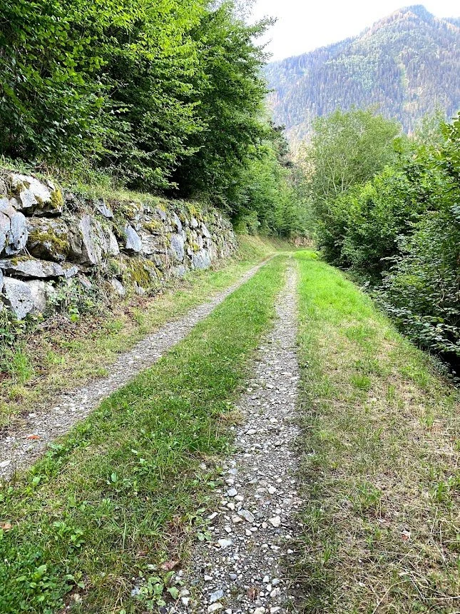
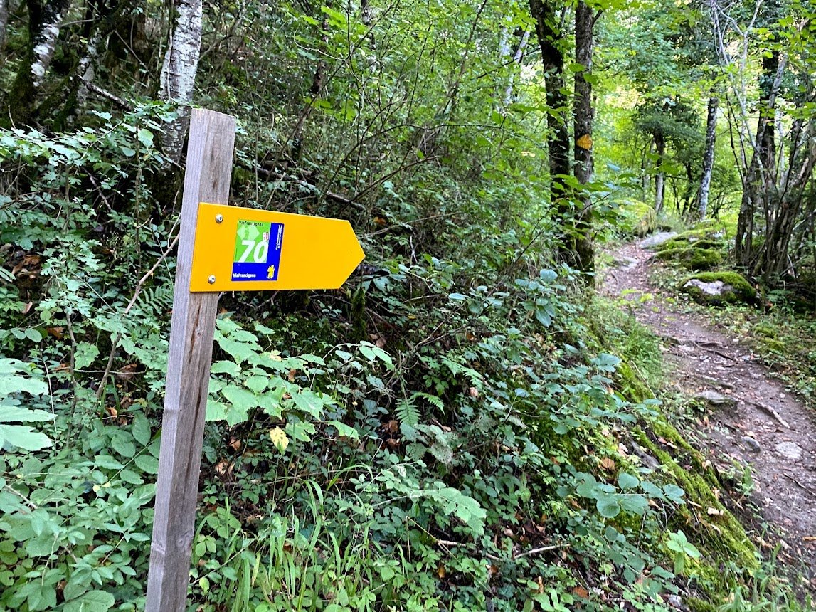
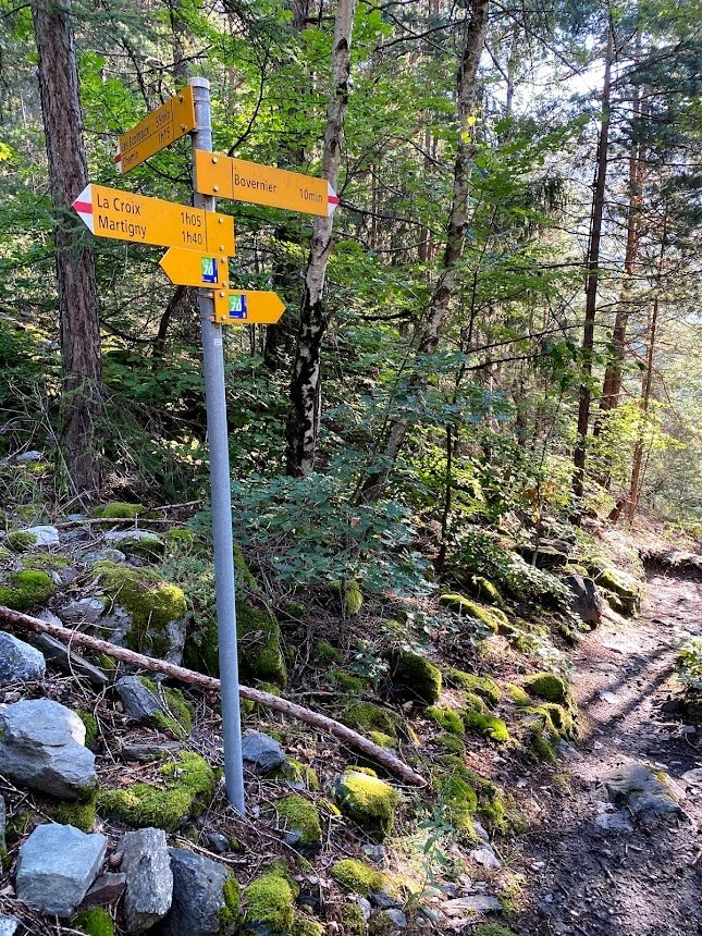
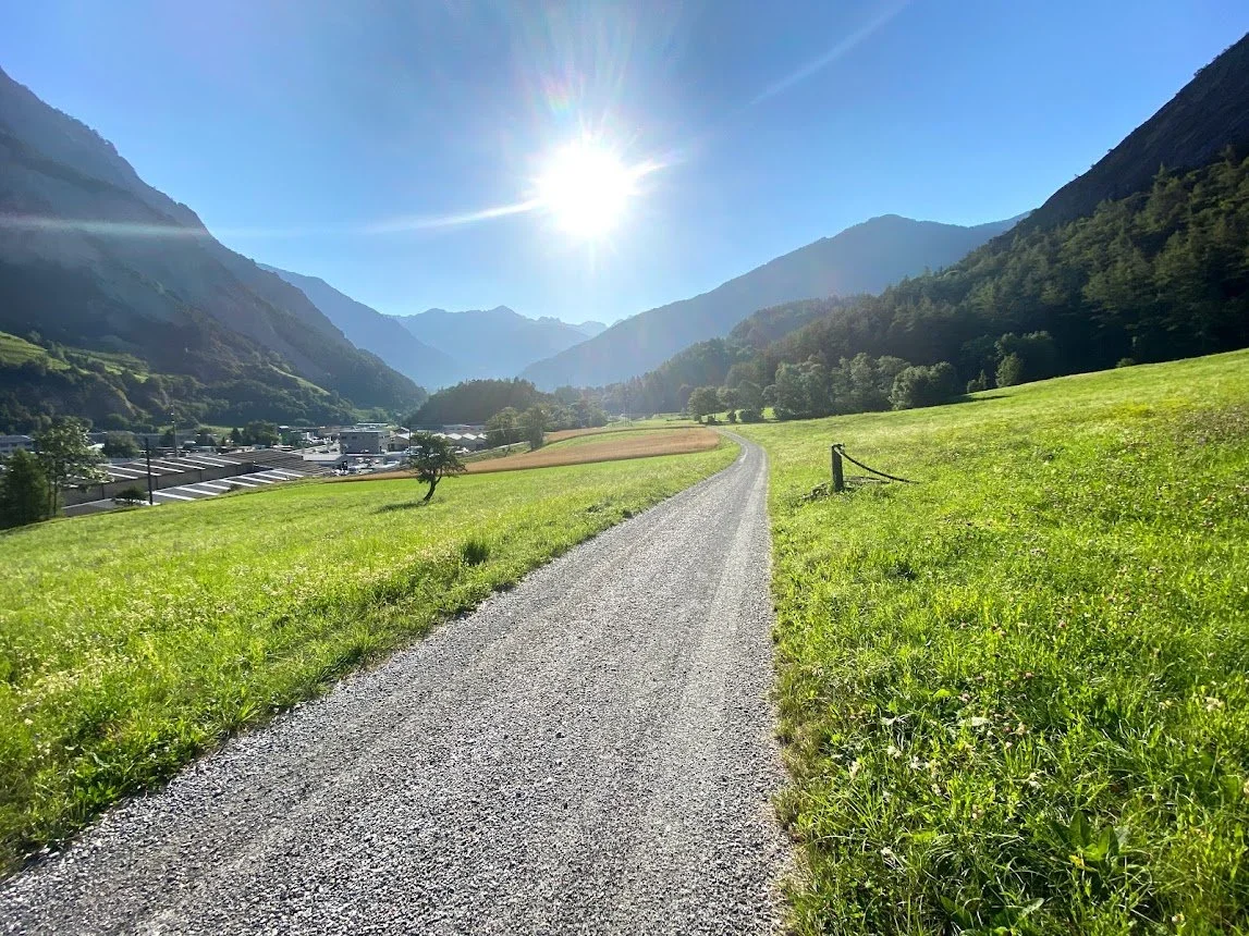
Things started well taking a steep road out of Martigny and onto a really great gravel track that unfortunately ended after a few hundred metres. Luckily at the end of it there was a signpost for the Via Francigena and the trail looked "ok".
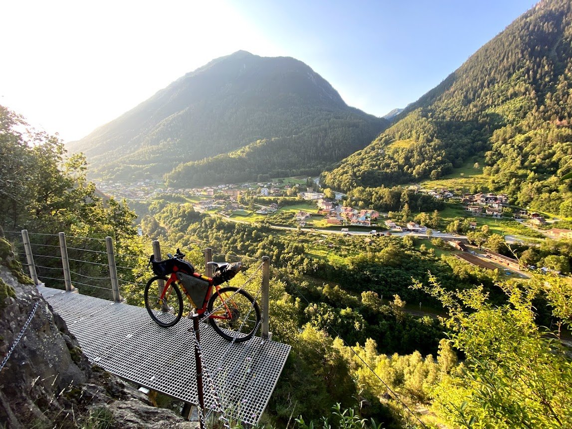
And so it was I set off on the most difficult part of the Via Francigena. The route got steeper up and down. Huge rock fields made it very tough with the bike shoes on. But the views from metal ledges strapped safely onto the side of the mountain were amazing. There's lots of chains to hold. At one point I was descending whilst carrying the bike in one hand and holding onto a safety chain with the other... it would have made a great photo if I was running for public office in Russia.
I would definitely do it again now that I know what it was... however would I have done it in the first place knowing what it would be like?
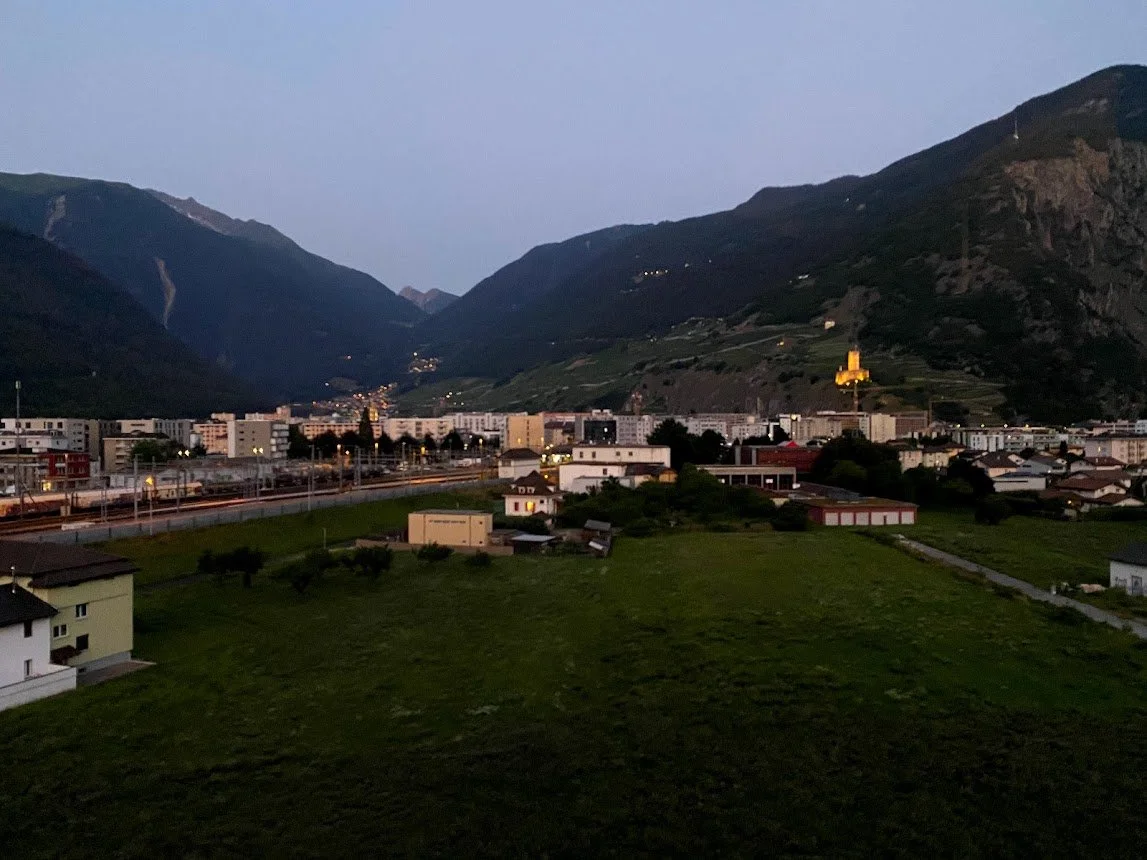
Early morning in Martigny
Things started out pretty good. Nice gravel track.
And the correct route.
Certainly ok to cycle in parts.
And then came the challenge… chains, metal ledges…
… rock fields etc.
The narrow bit
I finally emerged from the rockfields and chain walk into a wonderful vineyard and from there back to the valley bottom at Bovernier.
The valley between Bovernier and Sembrancher is 4-5km of extremely steep sides and a very narrow bottom to the valley where there's only space for the river (because no arguing with that), the road (a busy road carrying traffic from Italy) and a path. I'd read other blogs following the Via Francigena that people had preferred to take their chances on the road rather than the path since it was so narrow and dangerous. This kind of left me with a dilemma: take the busy narrow road which is single lane in each direction or take the path.
After the experience of the first few km of the day I opted for the road which at that time of day (it was still early) was not too bad. However this wasn't the deal I'd signed up for so after a couple of km I found a bridge across the river and carried on along the path: fortunately it was nothing like the north side of the valley I'd taken just a while earlier.
I really did follow the official route here. But it certainly wasn’t for bikes.
Finally back on something easy.
The villages
Once you reach Sembrancher, you turn right up the valley of the Dranse d'Entremont, checking off the villages of Orsieres, Liddes and Bourg-Saint-Pierre as you get higher up the valley.
I'd originally planned to spend the night in Liddes but I was making such good progress, I just continued on at the bottom of the valley on a great gravel track.
On the left side of the valley there’s plenty of very quiet asphalt roads.
And plenty of gravel tracks too. Its just linking them into a coherent route that was tricky at times.
The main road wasn’t that busy today.
You get an idea of the average gradient around here looking at the town hall of Liddes
Rockfall and heat
The official route of the Via Francigena continues along the valley bottom towards the reservoir, Lac des Toules. I was going to follow this and kind of double back to spend the night at Bourg-Saint-Pierre. However at one point the route was blocked with signs saying "No entry, Rockfall". Now I've seen a few of these along the way and I've seen many people just ignore them and continue so that's what I did... however after a few km this was the path:
The route was completely blocked by a giant rockslide, it felt like half the mountain had come down and I didn't feel 100% comfortable being there... so I took off back down the path and got on the detour up to Bourg-Saint-Pierre.
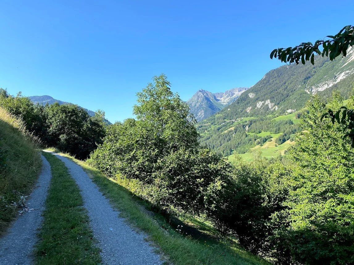
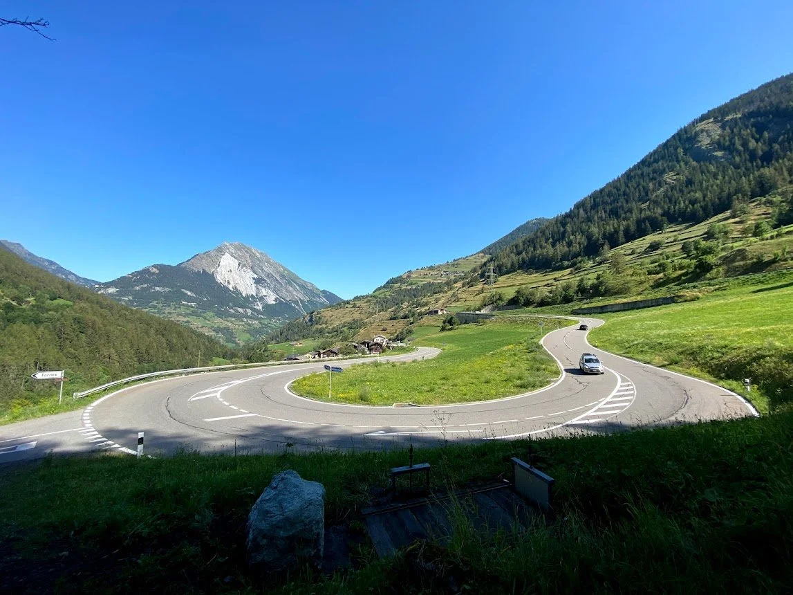
The detour was a pleasant but very steep gravel track.
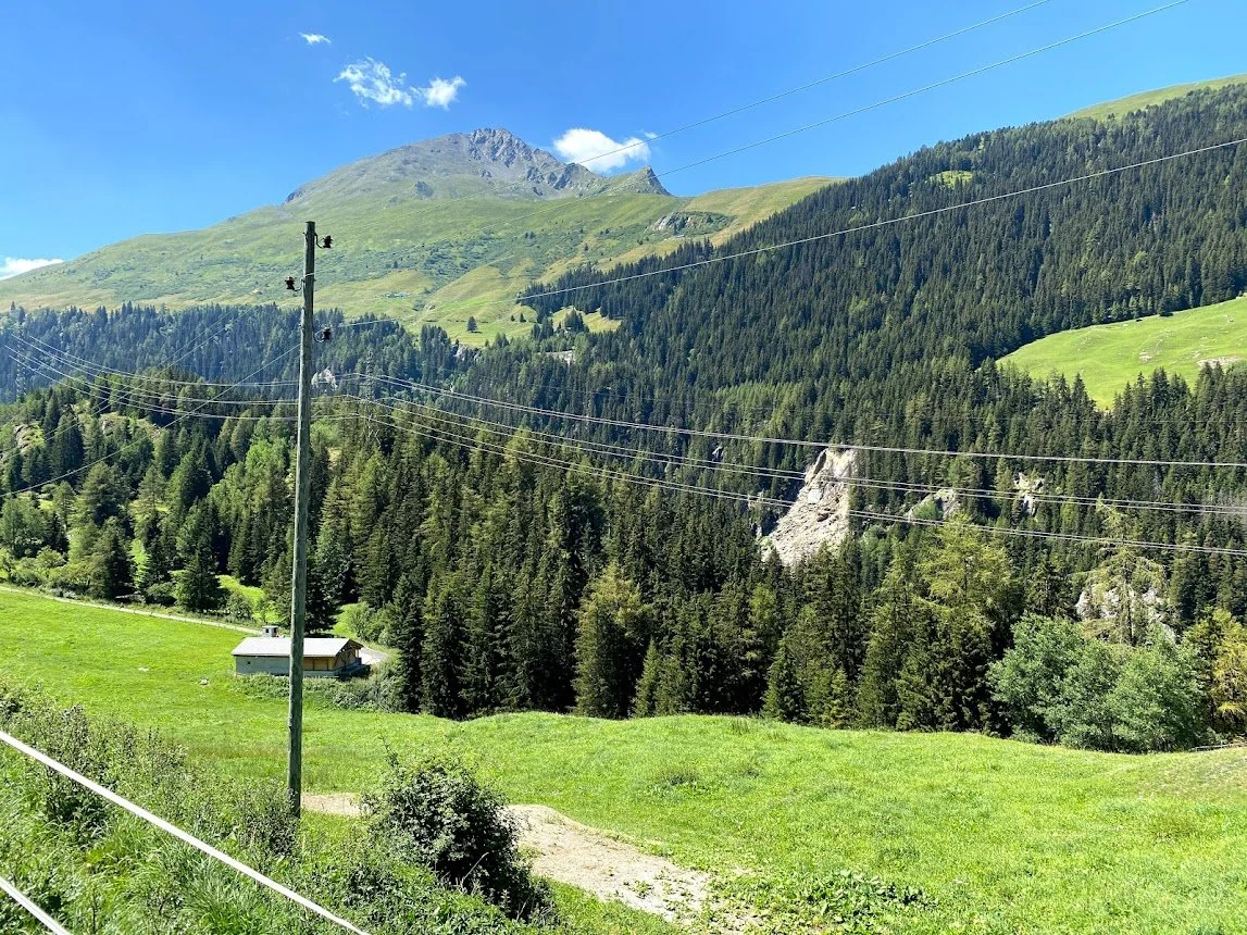
And you can see the rockfall now. I can’t see this ever being removed so people, walkers included, aren’t going to be taking a route along the valley bottom - everybody will now have to come up to Bourg St. Pierre
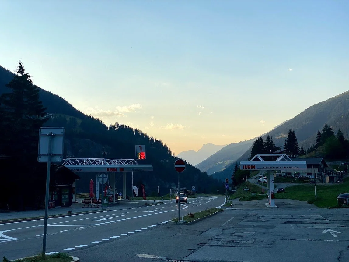
Overnight: Bourg-Saint-Pierre, Hôtel Restaurant Bivouac Napoléon
Historically, this is the place that Napoléon's army camped out before going over the pass in 1800.
I enjoyed the cold beer and dinner here. The room was a bit "old school"... very dark, small and "bunk house" like. Shouldn't really have been priced like a hotel, but I guess that is last minute booking for you. There's not much choice of places to stay around here so I'm not sure whether to recommend or not... if I came a second time I'd certainly look for somewhere else, but Bourg-Saint-Pierre is a tiny place and I'm not sure there is anything else.
Tomorrow is the most symbolic stage of the entire Via Francigena... following the track/road taken for the last few thousand years over the Alps... to Col Du Grand Saint Bernard. Allez!
Looking back down the valley.
