10 Châlons-en-Champagne to La Rothière
810m climbing
6h 23m elapsed
28th July 2019, 17°C, overcast
87.57km
4h 40m moving
70% off-road
Red line - the route I took, Orange line - “official” Via Francigena, Blue line - Sigeric’s probable route
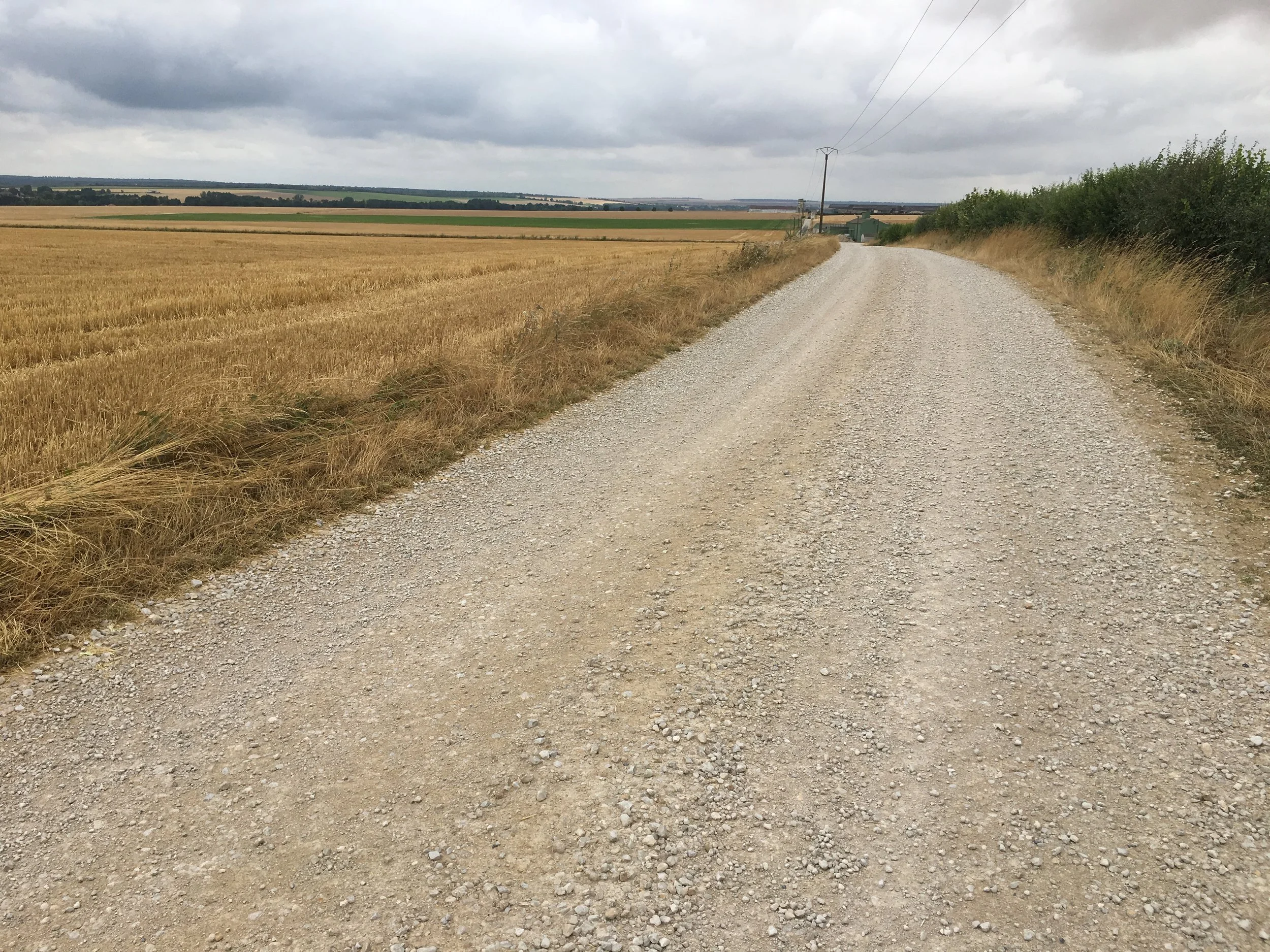
Long straight gravel tracks
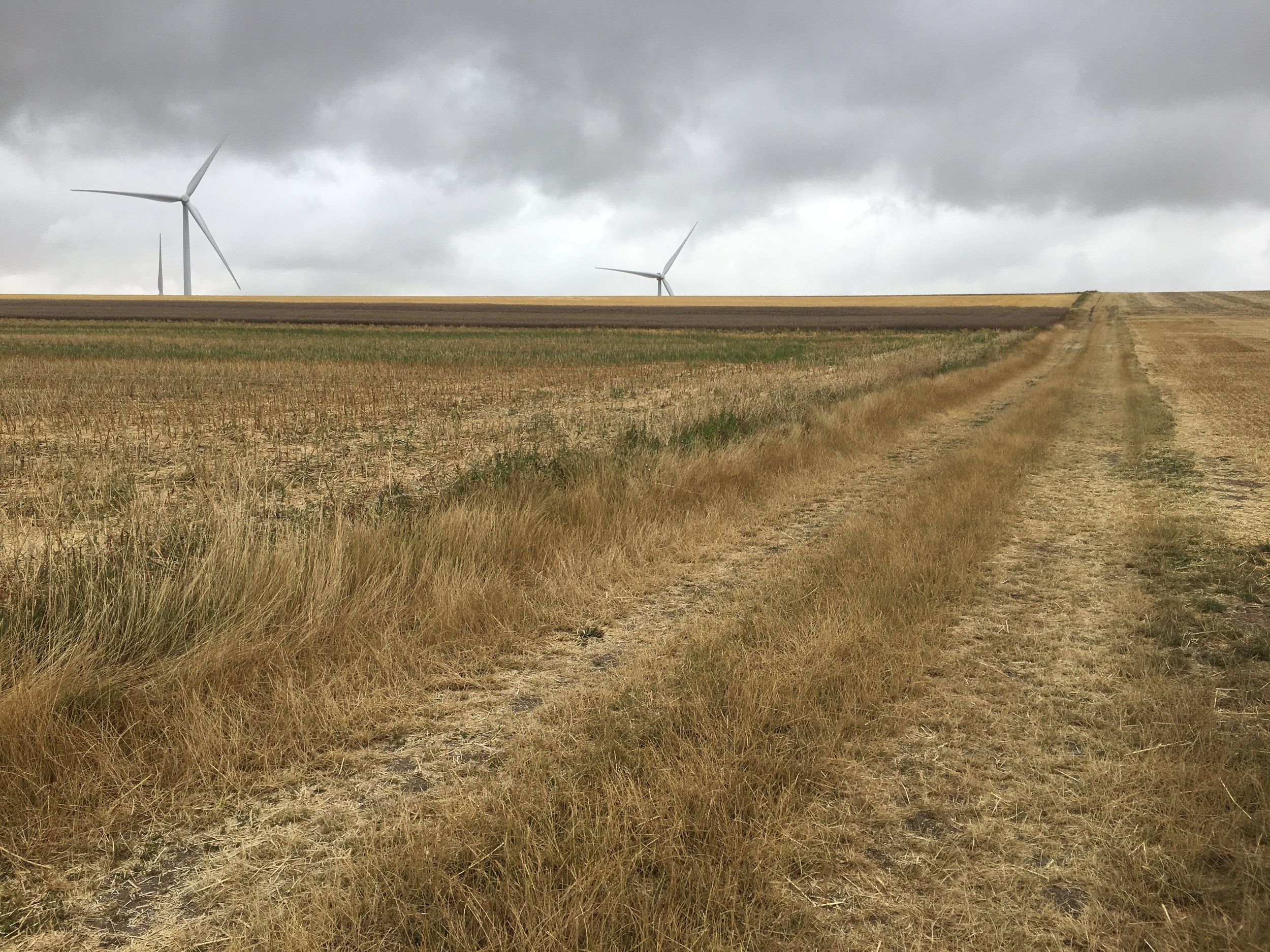
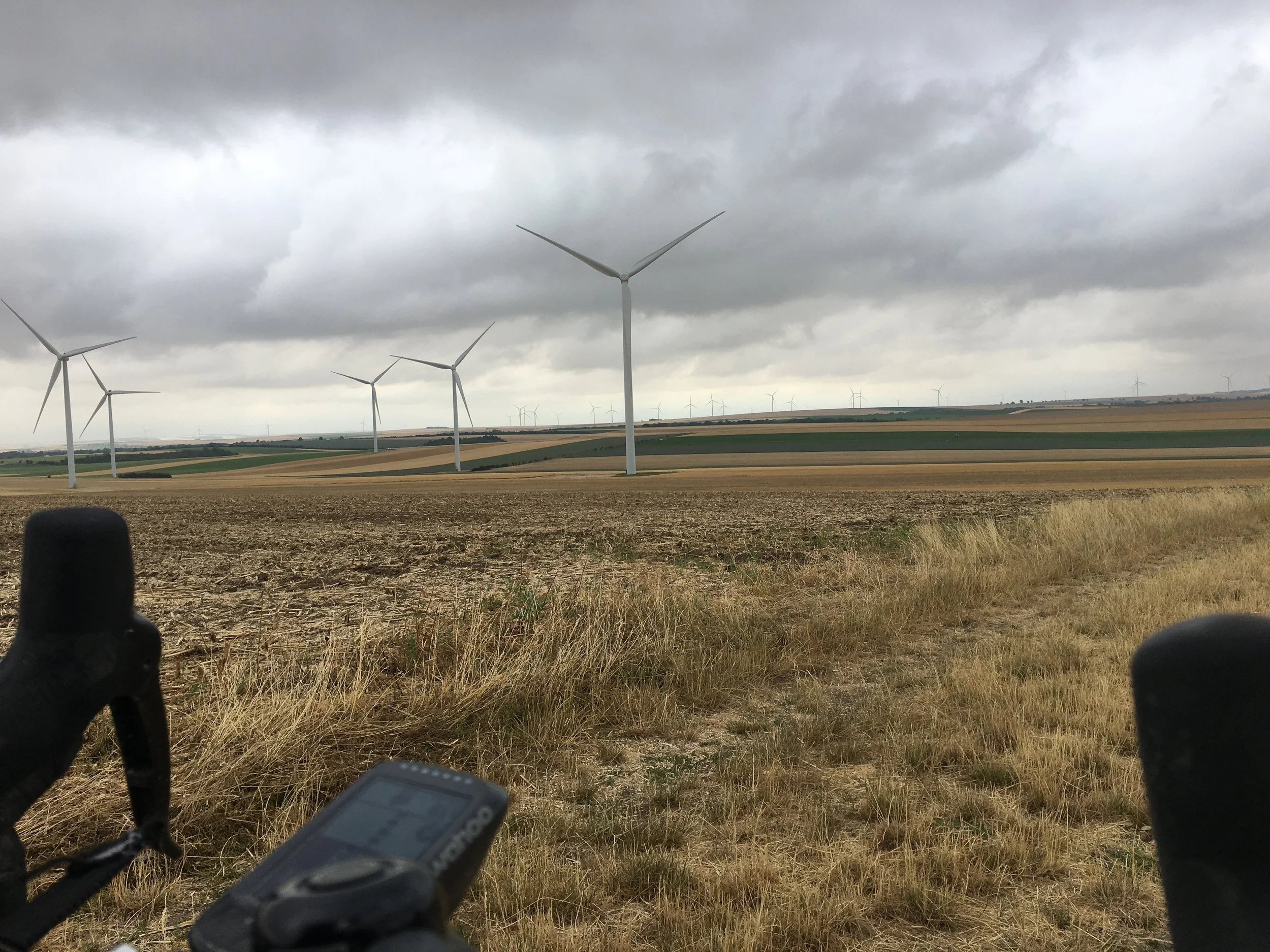
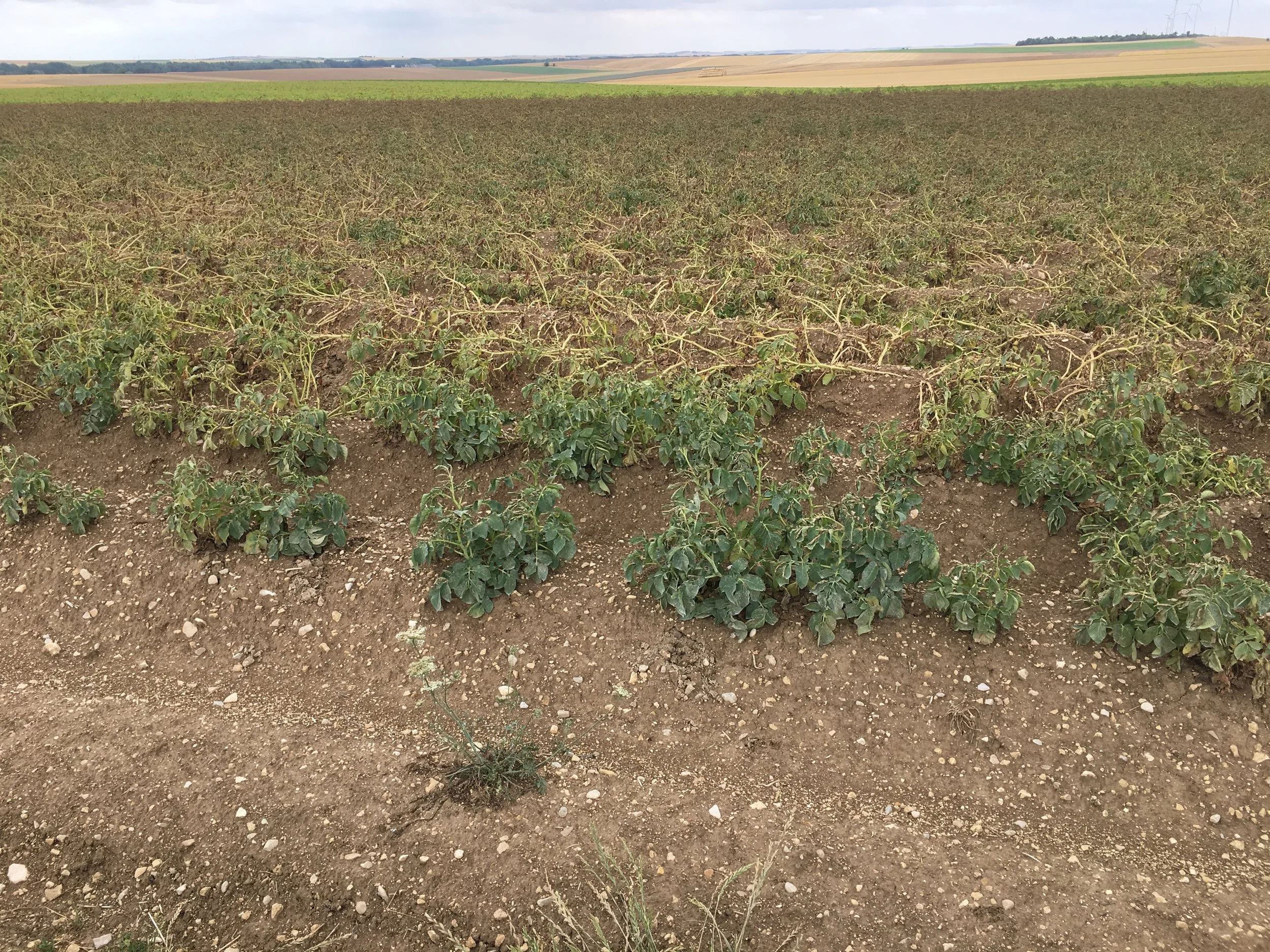
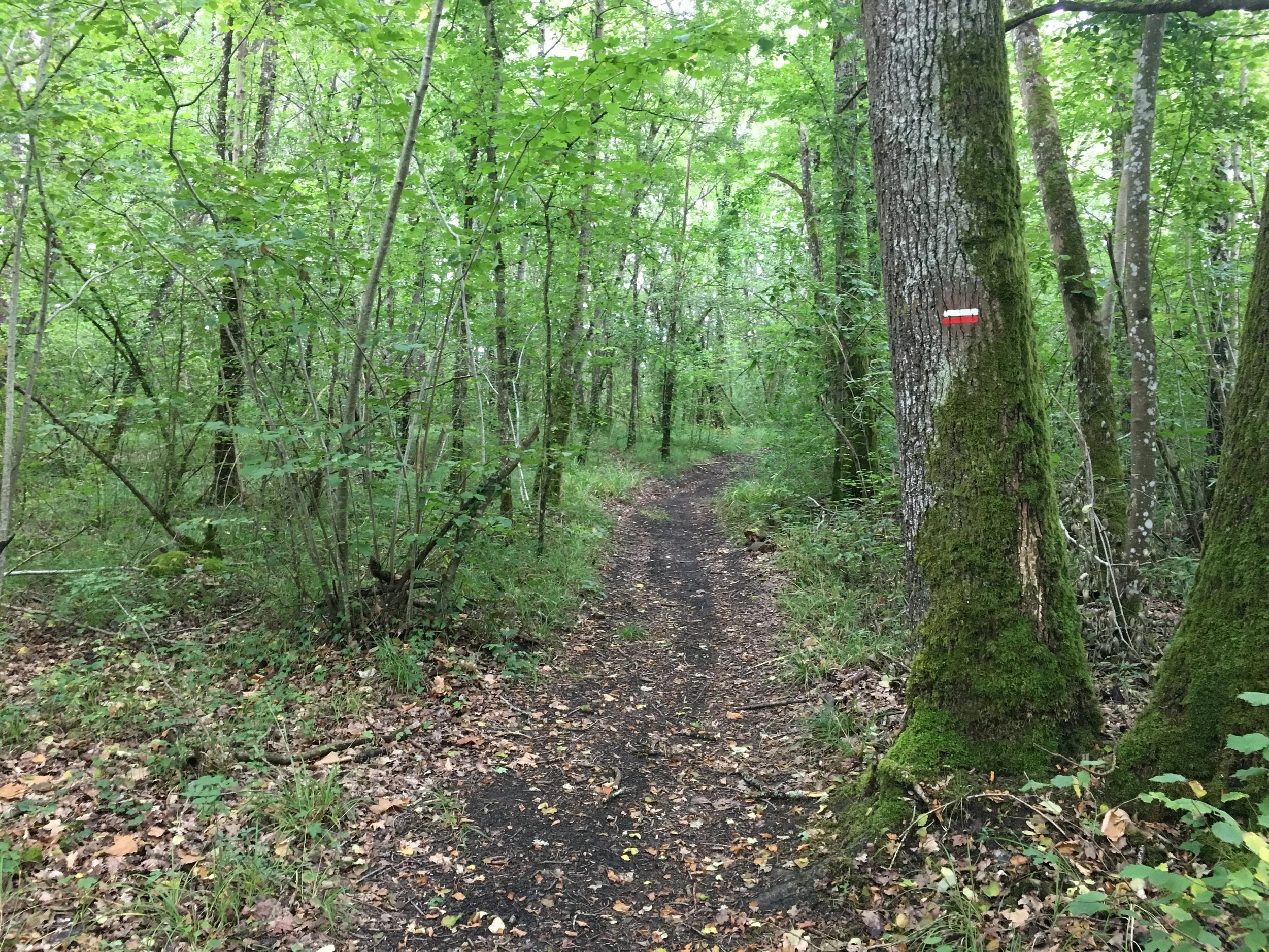
Today was the longest day of this year, following old Roman gravel roads between fields a lot of the way, quite probably the closest you get to the actual route of Sigeric. Yesterday's moon clay had dried out very quickly leaving some very flat and very fast "gravelling" today. There was one stretch today of 20km gravel in a straight line.
The official walking route takes a much longer and more circuitous route, I think for two reasons: 1) this is a very isolated part of France... there were times today when, despite being completely surrounded by agriculture, I couldn't see any buildings not even a farm... so the official route takes you closer to "civilisation"; 2) walking for kms in a straight line would probably be pretty dull... I was glad for the bike.
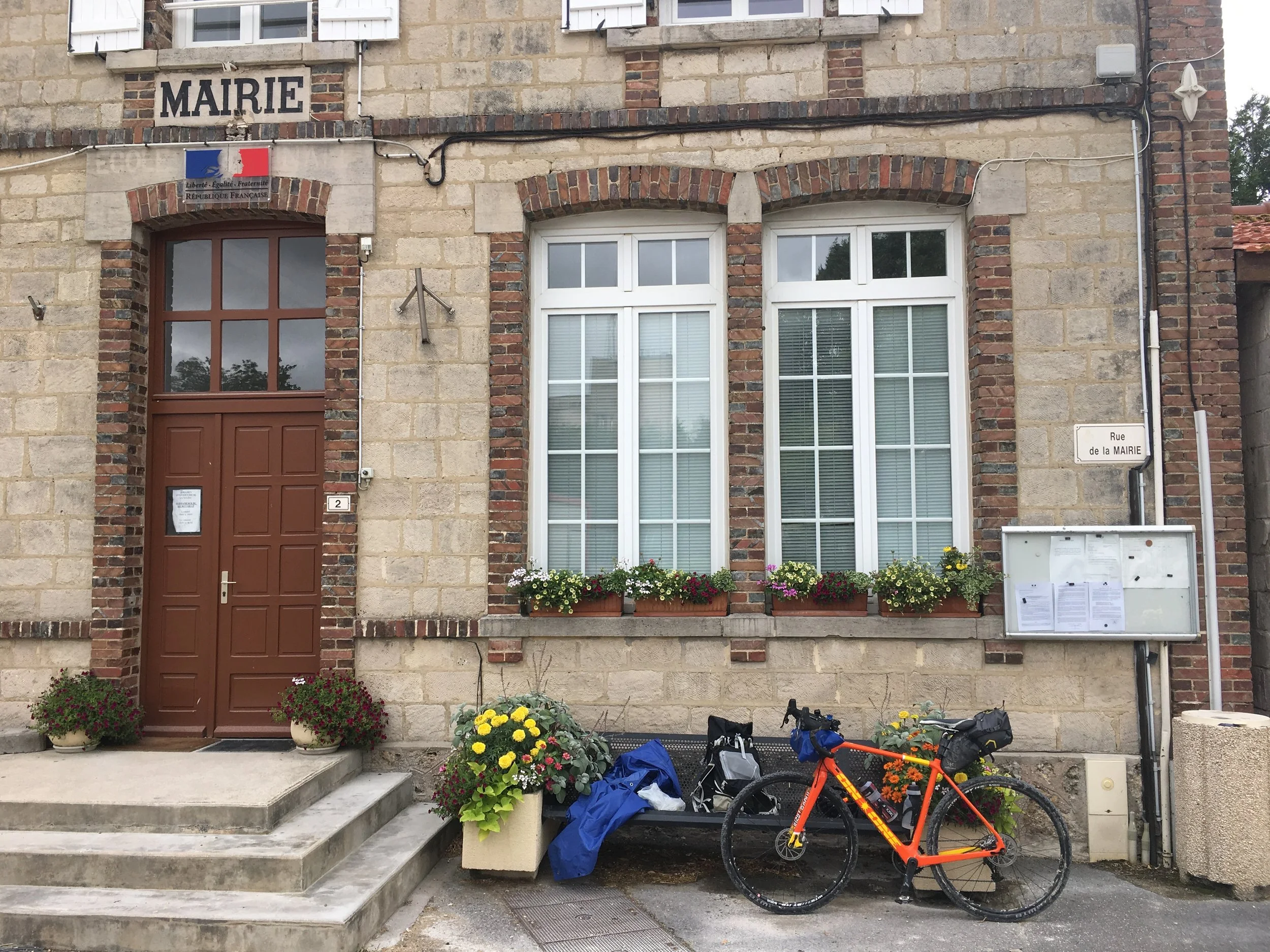
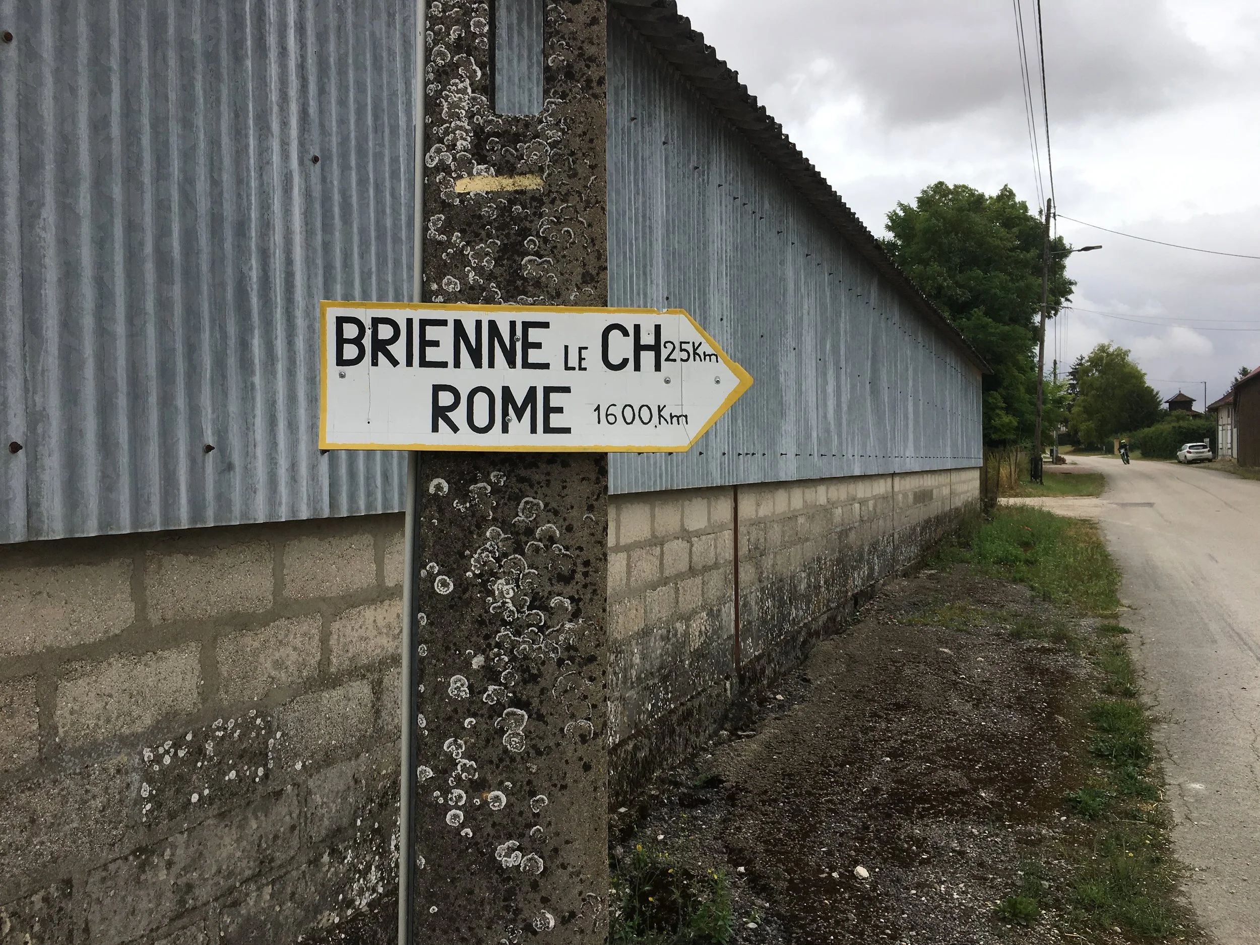
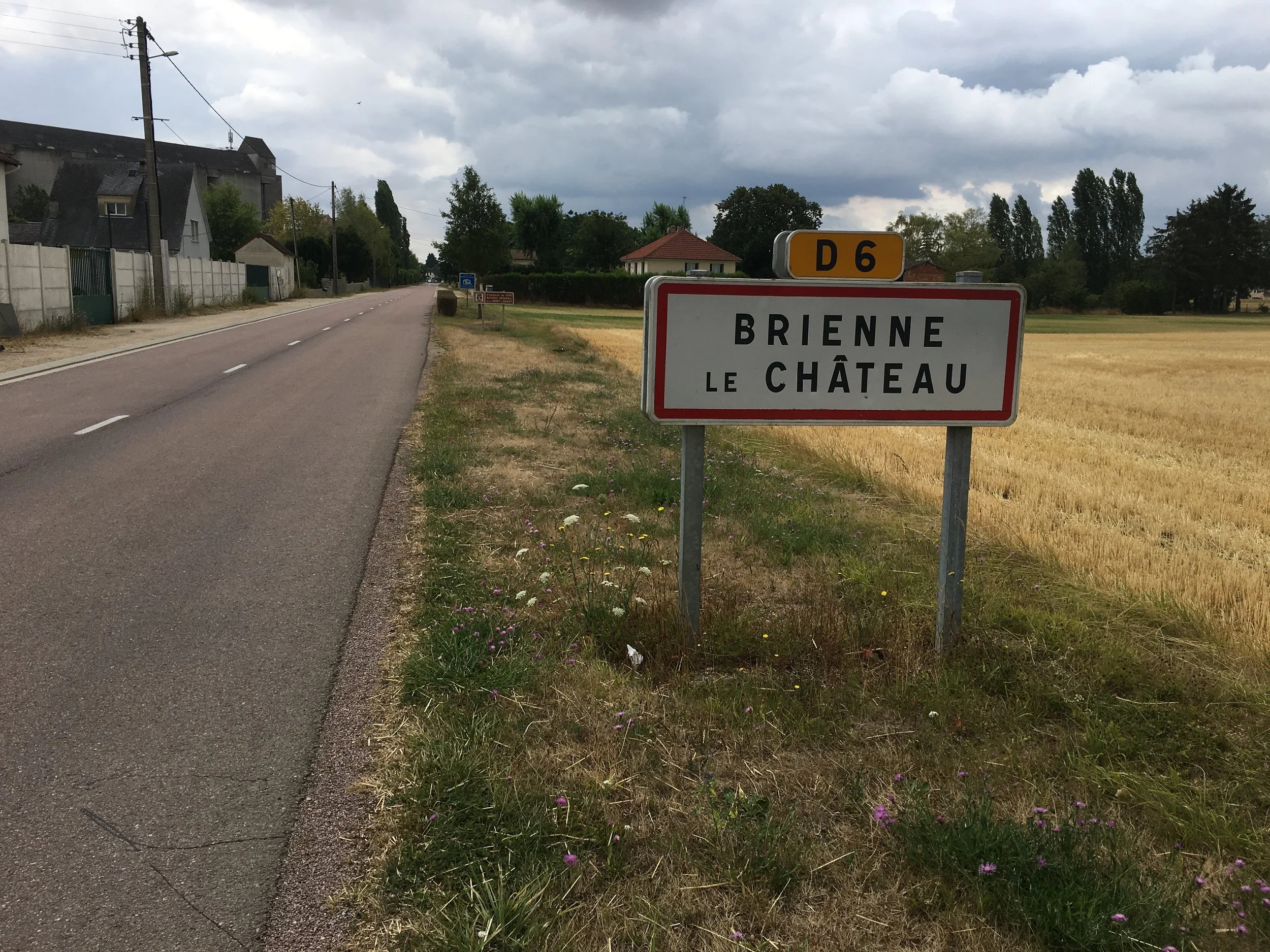
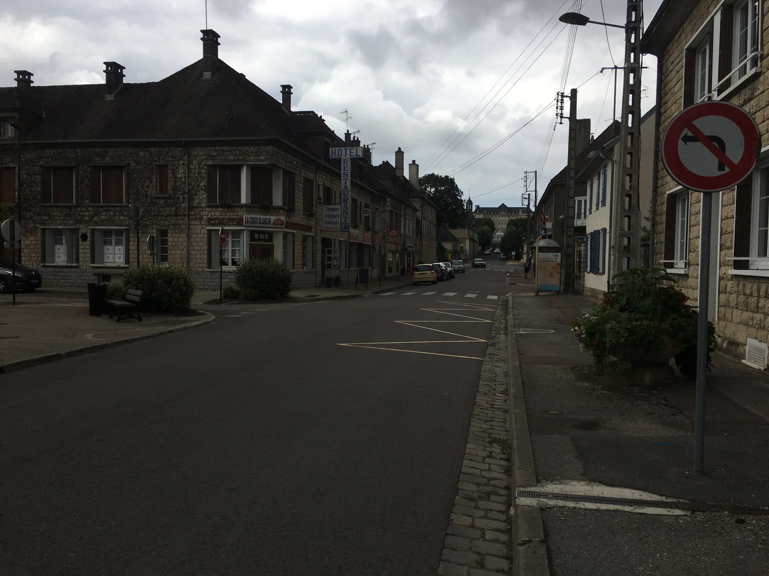
Brienne-le-Château was an interesting town to pass through, quite uniform in style befitting its military camp style origins. Overlooking the town is the big château which is impressive but you can’t visit as its now a psychiatric hospital.
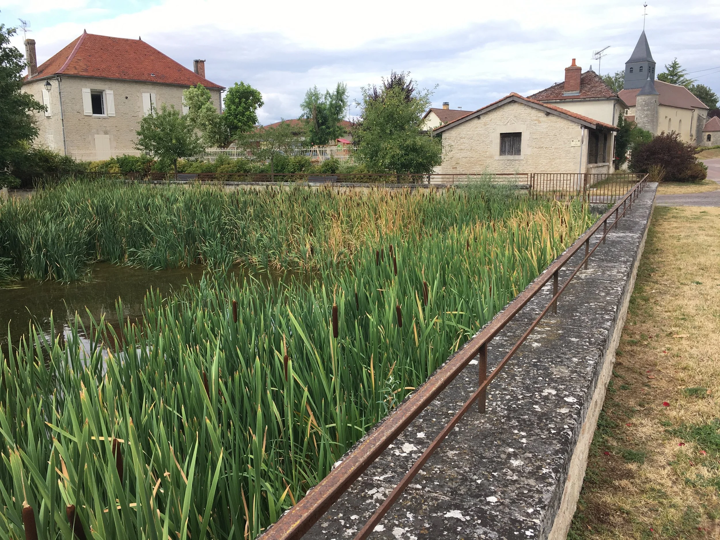
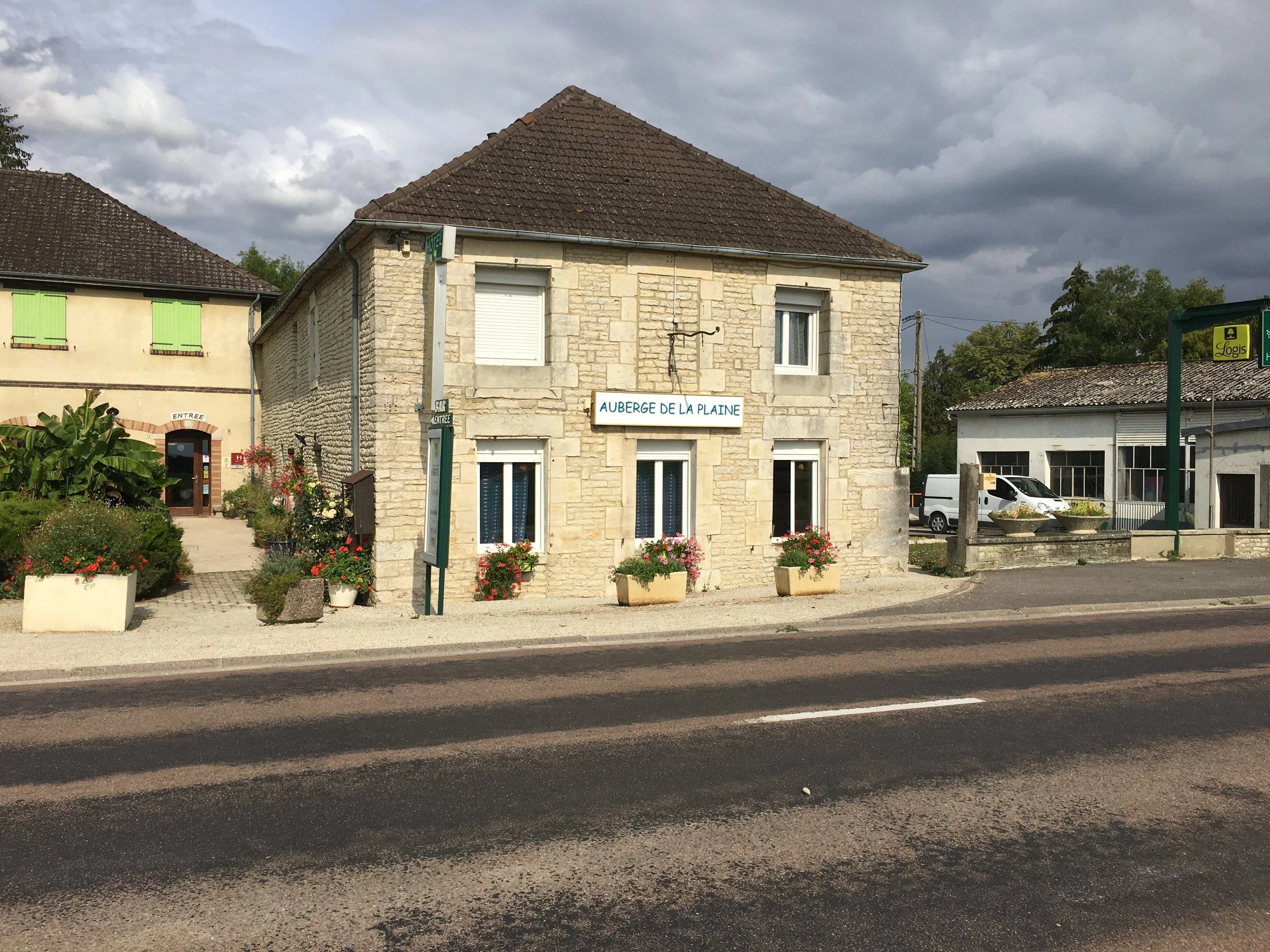
Overnight: La Rothiere, Auberge de la Plaine
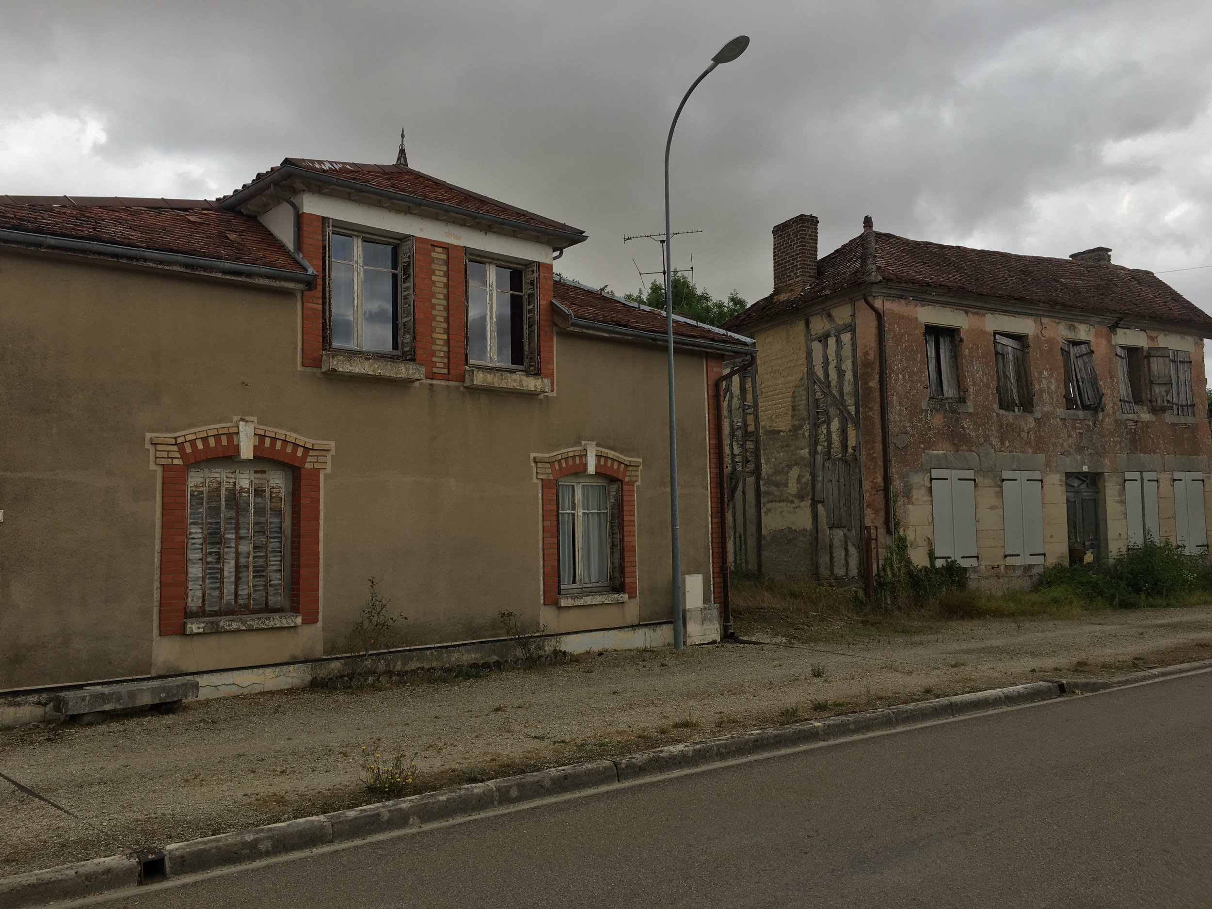
Its an ok "route stop" and friendly people who went out of the way to store my bike. However it’s nothing special and, in fact the food wasn't that great, unusual for France. Would try somewhere else next time.
La Rothiere is also noted for being the site of the first battle Napolean lost on “home soil”,

