Bikepacking the Via Algarviana
260km of cycling adventures across the mountains of the Algarve
Description
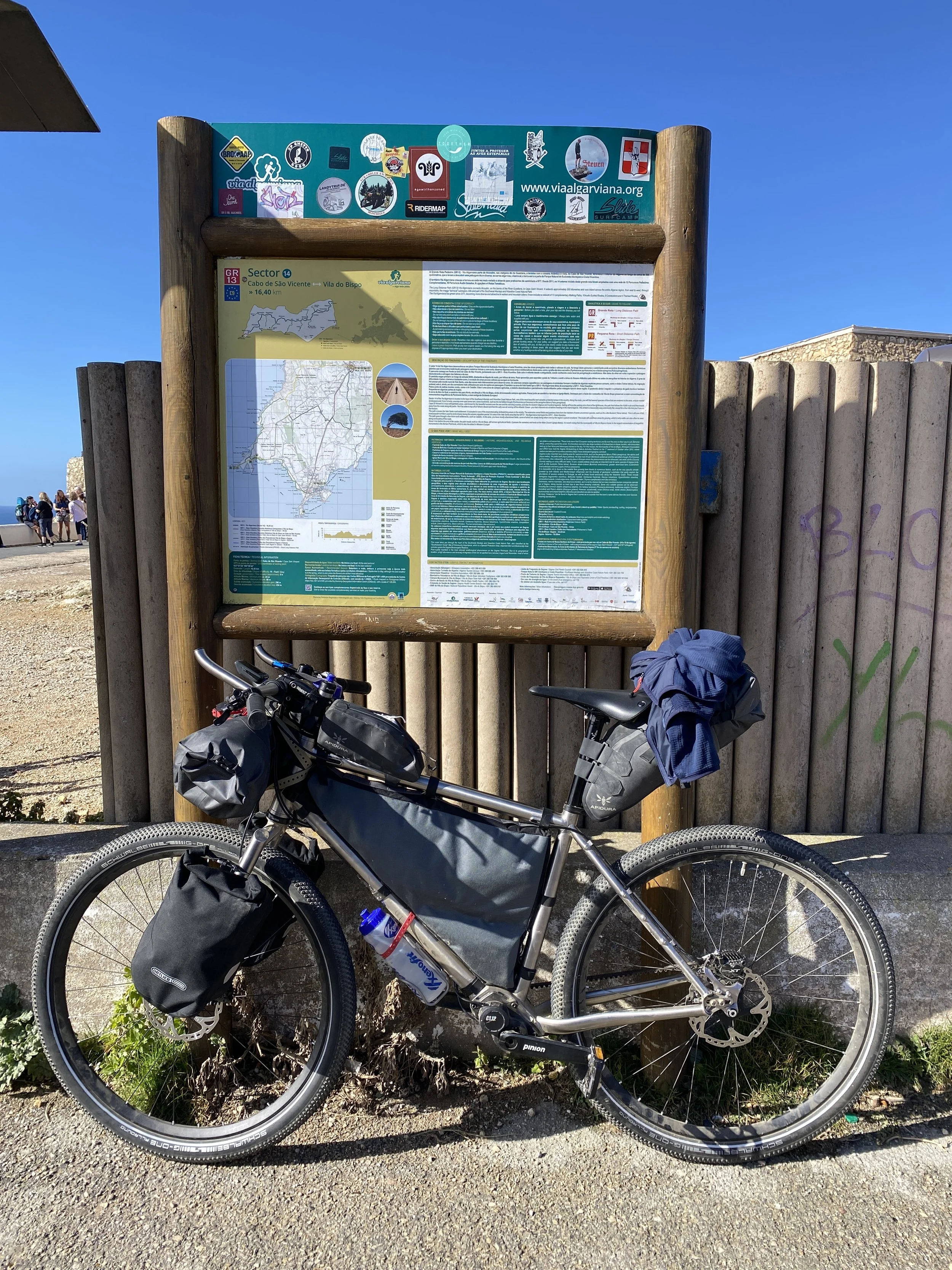
The Via Algarviana is a bike trail or long-distance path for walkers in southern Portugal stretching 300km between Alcoutim on the Spanish border and Cape St. Vincent in the far southwest of the Algarve region.
This bike trip takes in a variety of terrain: the flat gravel tracks of the litoral coastal zone, the lower hills and rocky outcrops of the barrochal and the serra or mountain areas. Especially interesting are the unique wildflower zones on the coast near Cape St. Vincent and the humid mountain microclimate near Monchique, a mecca for hiking in Portugal.
As for culture and history, the only pretty non-coastal town that the route doesn’t take in is Loule. So key towns with their own stories include Silves, Alte and Salir.
As described, this route is taken in the opposite direction to the official route. It starts at Cape St. Vincent (or more accurately the nearby village of Sagres) and finishes in Vaqueiros about 50km short of Acoutim.
The bicycle shop attached to the cafe in Monchique is easily the best option for sorting out emergencies. After that there’s kind of a bike store / mainly cafe in Alte, but I doubt you’ll get much service there.
Highlights
The town of Sagres and the views at sunset
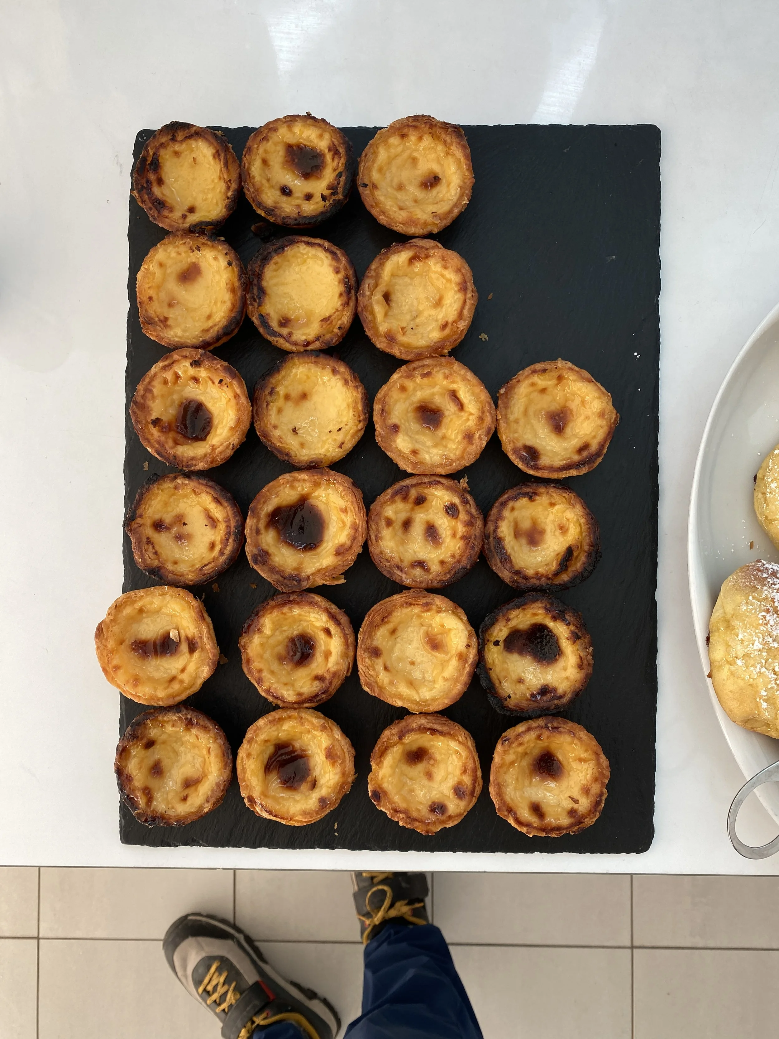
Pastel de nata (you could often get one and a coffee for €2)
The small hidden campervan with amazing streetfood at the top of Fóia, Alecrim
The dish of the day (Prato do dia) was generally great, often meat stew with bones in it but very cheap, usually with a glass (or more) of wine included
Small tapas place in Monchique (Café Vintage) whose owners gave me great food tips for Córdoba too
Skewers of meat in Salir (O Regresso)
Wildflowers. I went in March and everywhere was covered in wildflowers, millions of them. Even a small patch would have up to 20 different types of flowers. Colour everywhere.
Moorish history and architecture in Silves, the ancient capital of Algarve.
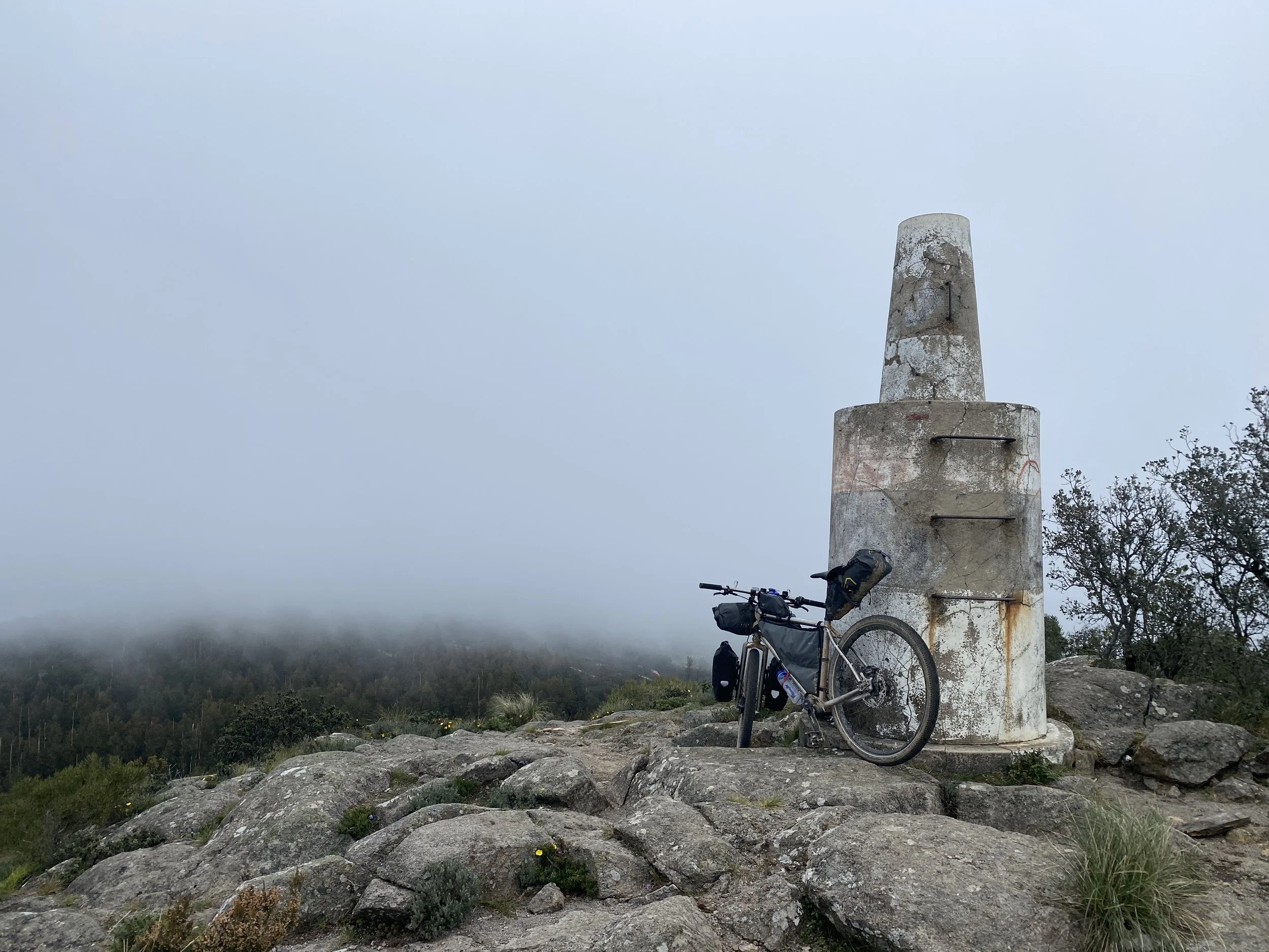
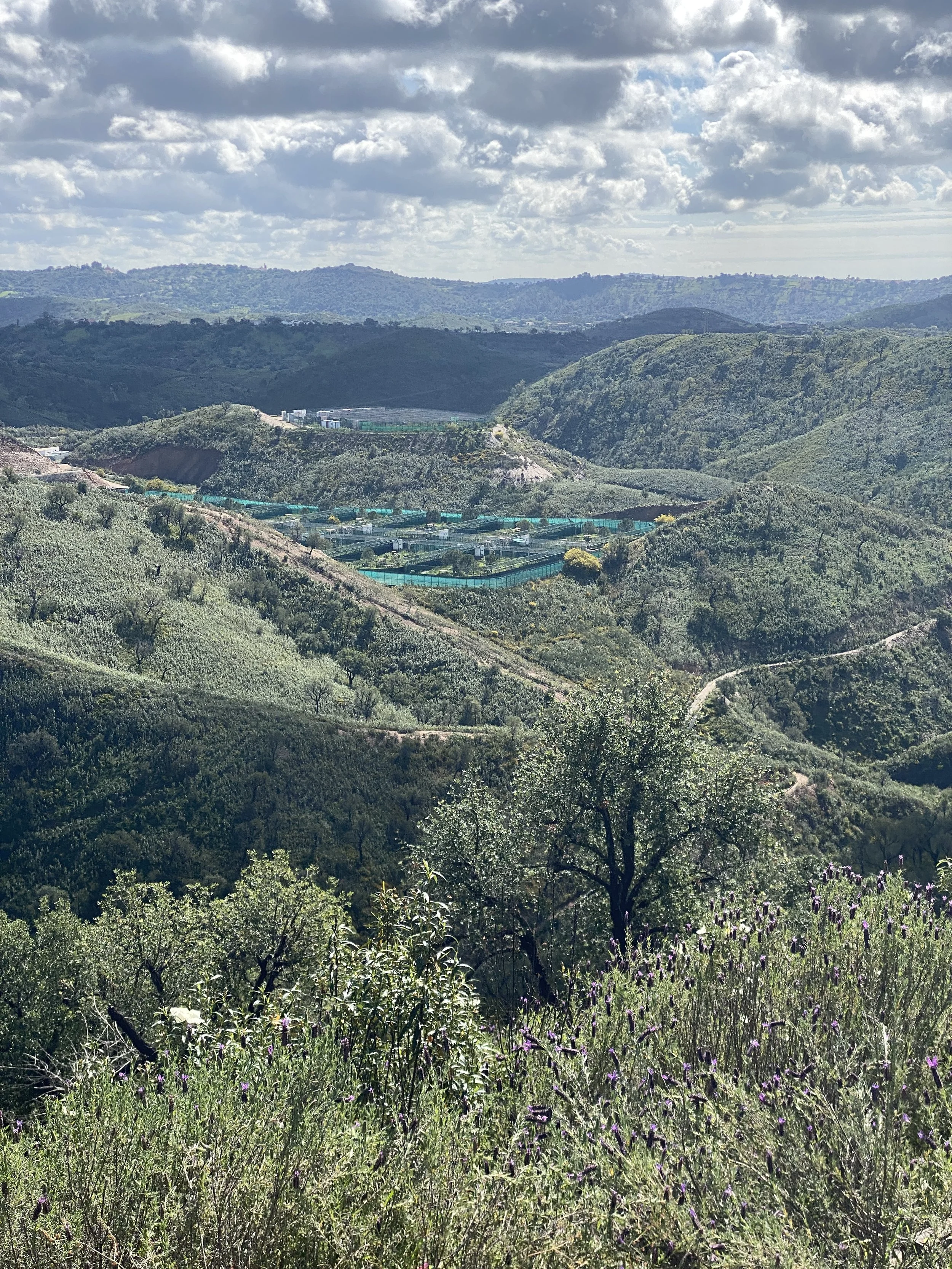
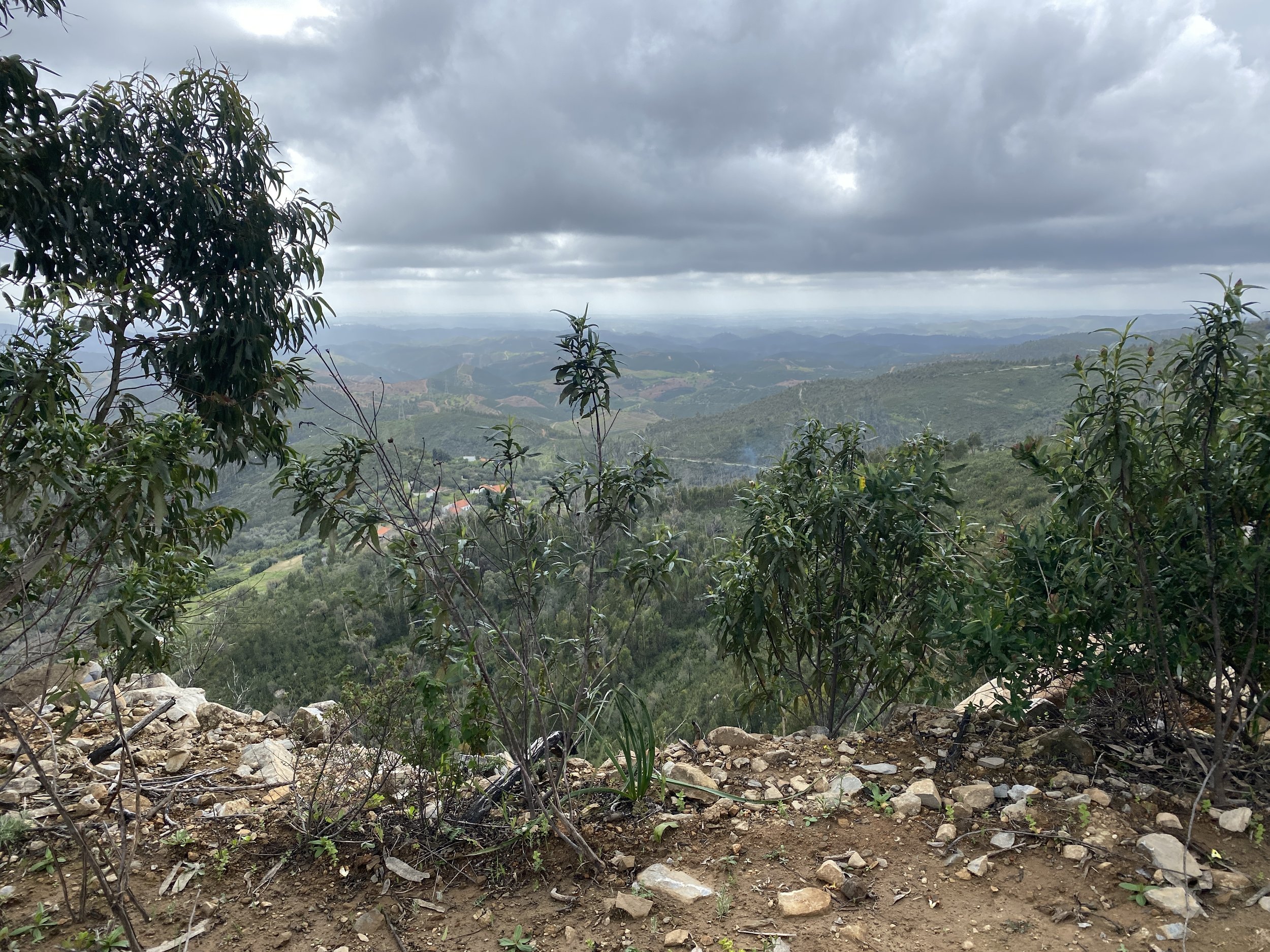
Hills. Hills. Hills. Equals views, especially from Fóia and Picota, everywhere because of so many hills.
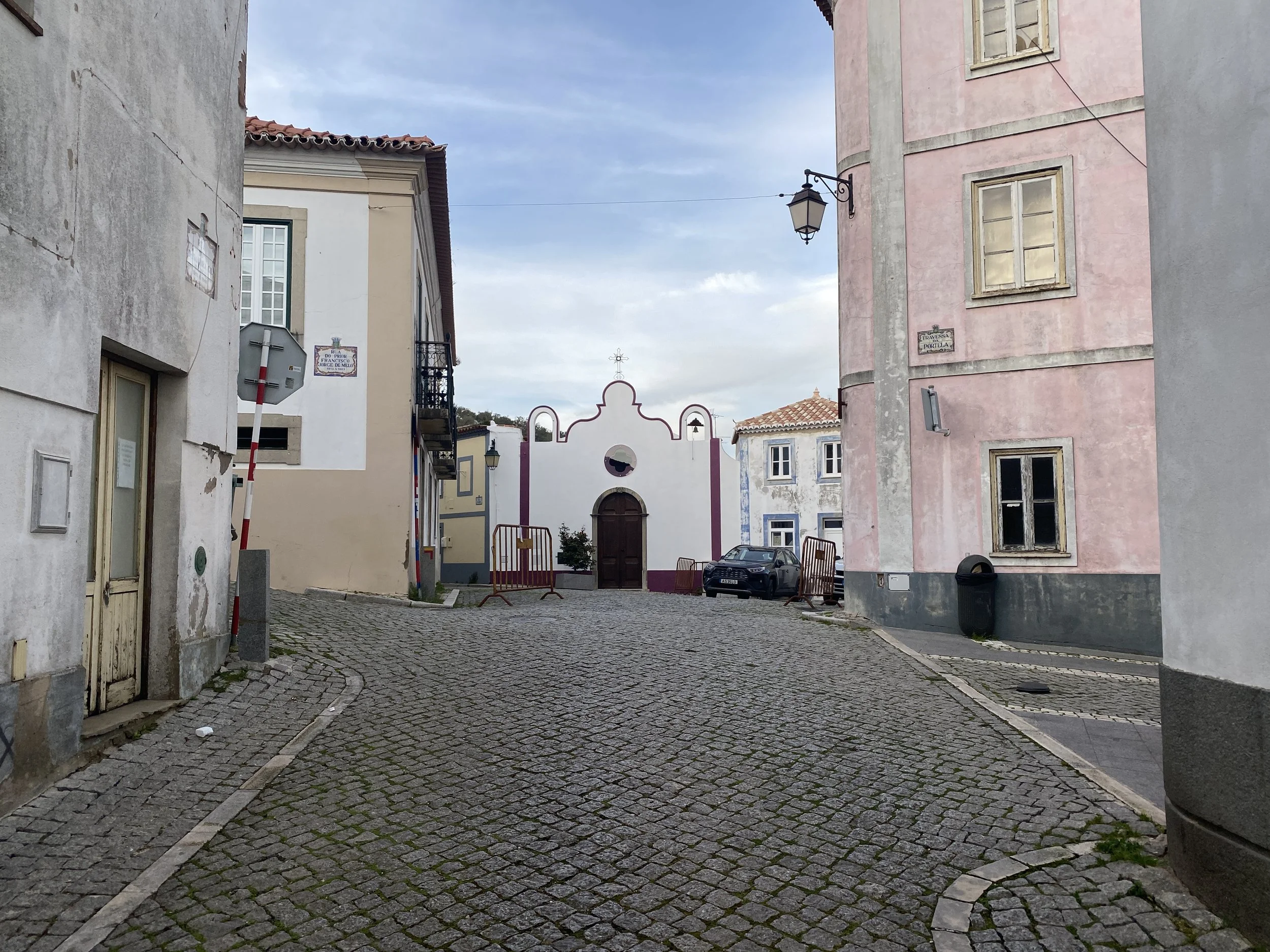
Colourful villages with old cafe-bars e.g. Barão de São João, Alte
Disappearing villages in the mountains e.g. Parises, Castelão
Vaqueiros is an exception to these villages in that it looks and feels well cared for. A large part of that is probably due to the family that runs the B&B and the restaurant / bar. A great place to stay and eat.
Stats
Distance: 259km, 5 days
Climb: 5220m, strenuous to very strenuous. It’s not your classic relaxing Portugal holiday.
Difficulty and type of bike
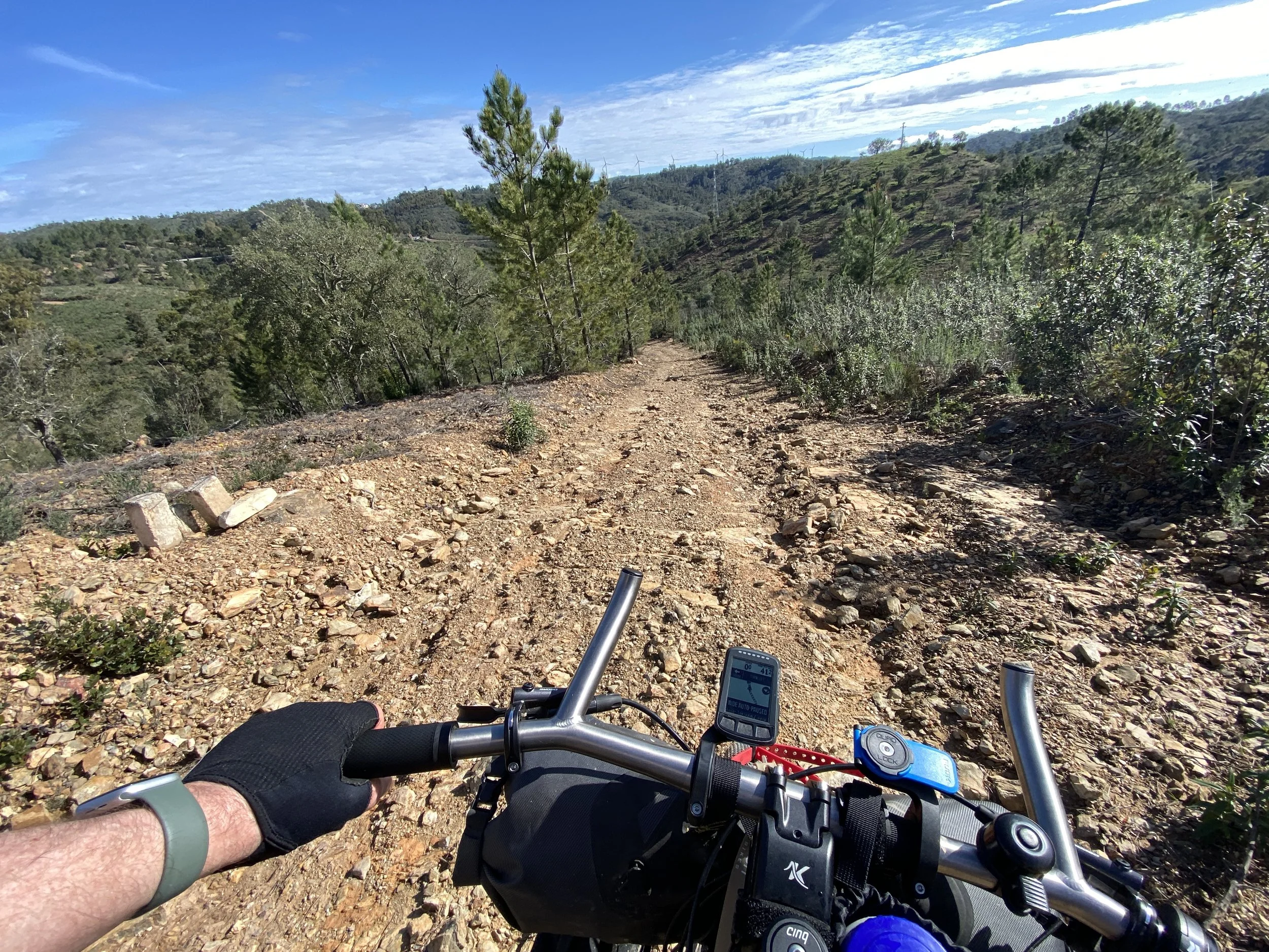
This is a challenging route across very hilly terrain. There are no high mountains (the highest point is Fóia at 902m), but the up and down is relentless. There are multiple slopes greater than 15° and many of these are rocky and rutted to the extent that you’re likely pushing uphill and braking continuously downhill. It is heavy going.
Types of bicycles that you’ll not get away with here are touring bikes (too heavy, not enough traction, insufficiently low gears), gravel bikes (low gear issues, narrow tyres) and electric mountain bikes (too heavy to push or carry, and a liability on the rutted loose steep downhills).
The official website is quite clear on the type of bike: you need a mountain bike. I agree though I did this on an “all-terrain bike” with 57mm tyres and a suspension stem with full bikepacking gear: it was almost too heavy on some sections and tricky on many downhills.
When to go
Firstly it is straightforward to say when not to go: do not go in summer. It will be far too hot and, quite frankly, dangerous even for the fittest people. There is water in small towns, but some terrain is very isolated: especially in summer I’d not expect to see any people in some 20-30km stretches.
The best time to do this is in spring, probably any time between February and early May. Yes, you’ll get a little muddy and maybe a little wet. But the wildflowers are amazing. Portugal in March is probably perfect.
It’d also be ok to do once the summer temperatures have cooled so late September, October, or November perhaps. Compared to spring, risk of rain is slightly higher, but the flowers are replaced by brown scrub: not nearly as pretty.
Route
Getting there and back
Sagres isn’t the easiest town to get to. Since I was already in Spain I took a train from Madrid to Seville and the FlixBus from there to Lagos, Portugal. There are also plenty of coaches from the Algarve airport at Faro. Just be aware that transporting bikes is tricky and you need to book them in: on high-speed rail they must be dismantled and in a bag; on the coaches you may get lucky for a bike spot but they’re also ok with the bike in a bag approach.
From Lagos to Sagres town there’s a relatively infrequent bus but since it was getting late I got a taxi for about €20.
If you’re finishing the the Via Algarviana in Portugal then you can get buses from places such as Alcoutim or Vaqueiros, but you’ll need the bike disassembled and in a bag. It may be better to cycle yourself back one of the coastal towns; or even heading back towards the coast at Parises or even Salir that are both closer to the coast than Vaqueiros or Alcoutim.
